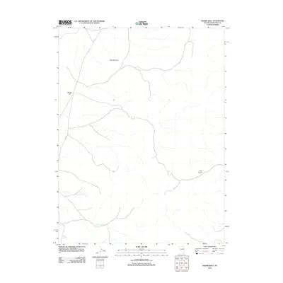
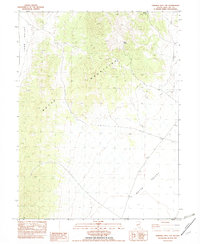
2012 Map of Franks Well
USGS Topo · Published 2012About this map
Franks Well serves as a vital water source in this arid high-desert landscape within White Pine County. The terrain is defined by prominent topographical elevations including Black Mountain in the north and Manger Hill to the west, while Black Canyon cuts through the eastern reaches of the quadrangle. Transportation through this isolated region is primarily facilitated by Co RD-19, which winds through the mountain passes. This 2012 survey illustrates the sparse but critical infrastructure required for survival and navigation in the Great Basin, where named wells and landmarks like these are essential for ranching and backcountry transit.
Find a feature on this map
5 named features on this map. Tap any name to fly to it.
Don’t see what you’re looking for? This feature index may not catch every label — zoom into the map to look around manually.
Map Details
Editions of this 2012 Franks Well Map
This is the sole edition of this map. No revisions or reprints were ever made.
Other maps of this area

1956 · Ely
USGS Topo · 1:250,000

1959 · Ely
USGS Topo · 1:250,000
1962 · Hunter Point
USGS Topo · 1:24,000

1963 · Ely
USGS Topo · 1:250,000

1982 · Ninemile Well
USGS Topo · 1:24,000

1982 · White Sage Well
USGS Topo · 1:24,000

1982 · Exchequer Spring
USGS Topo · 1:24,000
1982 · Cow Camp
USGS Topo · 1:24,000
1982 · Franks Well
USGS Topo · 1:24,000
1982 · Ninemile Well NW
USGS Topo · 1:24,000