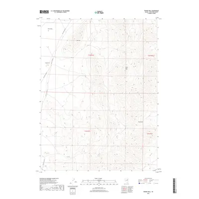
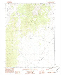
2018 Map of Franks Well
USGS Topo · Published 2018About this map
Butte Valley defines the western reaches of this high-altitude landscape, where the flat valley floor meets the rising peaks of the Cherry Creek Range. The eponymous Franks Well sits as a vital water point in the southern portion of the quadrangle, a critical resource in the arid basin-and-range environment of eastern Nevada. The terrain is marked by significant elevation changes, from the heights of Black Mtn and Manger Hill to the steep relief of Black Canyon. Transportation is limited to a sparse network of county roads, including White Pine Co Road 17 and White Pine Co Road 19, which skirt the valley edges. This modern survey reflects a region primarily used for grazing and open-range land management, where named landmarks often center on scarce water sources and prominent geological features.
Find a feature on this map
12 named features on this map. Tap any name to fly to it.
Don’t see what you’re looking for? This feature index may not catch every label — zoom into the map to look around manually.
Map Details
Editions of this 2018 Franks Well Map
This is the sole edition of this map. No revisions or reprints were ever made.
Other maps of this area

1956 · Ely
USGS Topo · 1:250,000

1959 · Ely
USGS Topo · 1:250,000
1962 · Hunter Point
USGS Topo · 1:24,000

1963 · Ely
USGS Topo · 1:250,000

1982 · Ninemile Well
USGS Topo · 1:24,000

1982 · White Sage Well
USGS Topo · 1:24,000

1982 · Exchequer Spring
USGS Topo · 1:24,000
1982 · Cow Camp
USGS Topo · 1:24,000
1982 · Franks Well
USGS Topo · 1:24,000
1982 · Ninemile Well NW
USGS Topo · 1:24,000