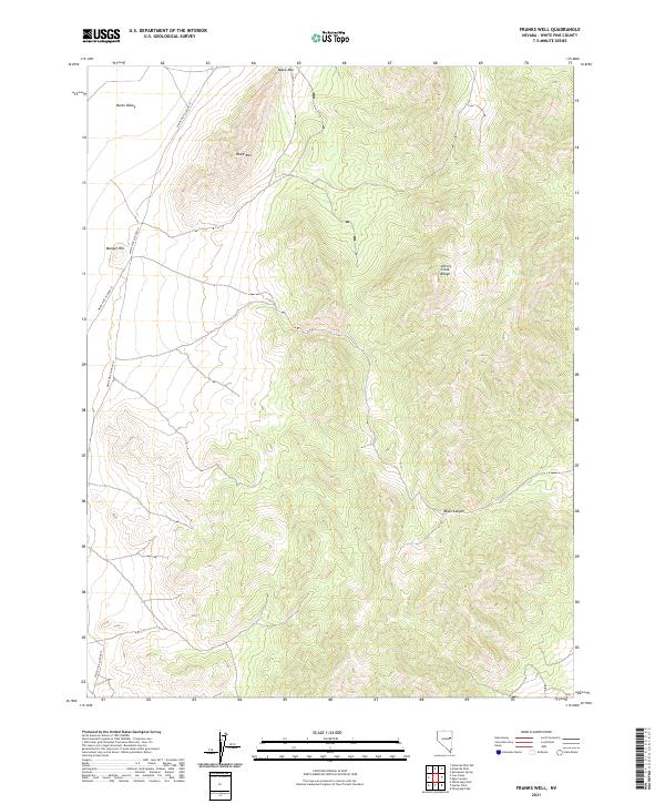
2021 Map of Franks Well
USGS Topo · Published 2021About this map
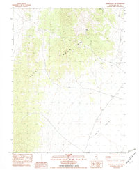
Cherry Creek Range dominates the eastern half of this terrain, showing the characteristic north-south alignment of Nevada's high-desert topography. This modern 2021 survey documents the sparsely populated land between the range and Butte Valley to the west. Local landmarks such as Black Mtn and Manger Hill provide distinct vertical relief in an area primarily defined by drainage patterns and isolation. Transportation in the region is limited to essential corridors like White Pine Co Road 19 and White Pine Co Road 17, which trace the edge of the valley floor. The map also delineates Black Canyon, a significant geological feature cutting through the southern portion of the range, offering a detailed view of the remote White Pine County landscape.
Find a feature on this map
11 named features on this map. Tap any name to fly to it.
Don’t see what you’re looking for? This feature index may not catch every label — zoom into the map to look around manually.
Map Details
Editions of this 2021 Franks Well Map
This is the sole edition of this map. No revisions or reprints were ever made.
Other maps of this area

1956 · Ely
USGS Topo · 1:250,000

1959 · Ely
USGS Topo · 1:250,000
1962 · Hunter Point
USGS Topo · 1:24,000

1963 · Ely
USGS Topo · 1:250,000

1982 · Ninemile Well
USGS Topo · 1:24,000

1982 · White Sage Well
USGS Topo · 1:24,000

1982 · Exchequer Spring
USGS Topo · 1:24,000
1982 · Cow Camp
USGS Topo · 1:24,000
1982 · Franks Well
USGS Topo · 1:24,000
1982 · Ninemile Well NW
USGS Topo · 1:24,000