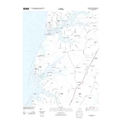
2013 Map of Franktown
USGS Topo · Published 2013About this map
The Saltworks and Drummonds Millpond highlight the historic reliance on local coastal resources along Virginia’s Eastern Shore. This area of Northampton County is defined by its intricate network of necks and points, where the land meets the Chesapeake Bay. Settlement patterns follow the high ground between tidal creeks like Nassawadox Creek and Hungars Cr, with small communities such as Bridgetown, Johnsontown, and Franktown serving as long-standing local hubs. Transportation is centered on the corridor of the Lankford Hwy, which connects rural hamlets to larger hubs. Notable landmarks such as Taylor Wharf and the Weirwood Fairgrounds reflect a community with deep roots in maritime trade and agriculture. The presence of both the Machipongo International Airport and Campbell Field Airport illustrates the continued importance of regional connectivity in this traditional landscape.
Find a feature on this map
71 named features on this map. Tap any name to fly to it.
Don’t see what you’re looking for? This feature index may not catch every label — zoom into the map to look around manually.
Map Details
Editions of this 2013 Franktown Map
This is the sole edition of this map. No revisions or reprints were ever made.
Other maps of this area

1942 · Cheriton
USGS Topo · 1:24,000

1942 · Cobb Island
USGS Topo · 1:24,000

1942 · Nassawadox
USGS Topo · 1:24,000

1943 · Nassawadox
USGS Topo · 1:31,680

1943 · Jamesville
USGS Topo · 1:31,680

1943 · Franktown
USGS Topo · 1:31,680

1943 · Exmore
USGS Topo · 1:24,000

1943 · Richmond
USGS Topo · 1:250,000

1944 · Exmore
USGS Topo · 1:31,680

1946 · Eastville
USGS Topo · 1:250,000