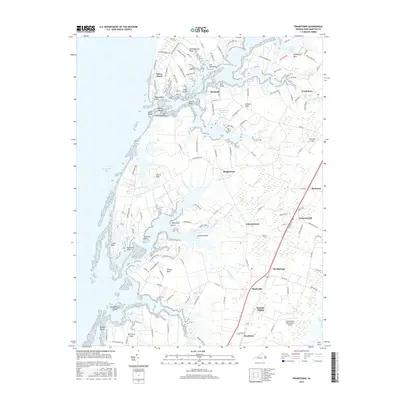
2016 Map of Franktown
USGS Topo · Published 2016About this map
The Saltworks sits at the head of a small inlet on Occohannock Creek, marking a landscape where the Eastern Shore's tidal fingers deeply penetrate the interior of Northampton County. This coastal geography defines the region, with long peninsulas like Occohannock Neck and Old Town Neck reaching into the Chesapeake Bay. The map reveals a settlement pattern tied to both the water and the central transit corridor, where communities like Franktown and Machipongo align with the inland road and rail networks.
Find a feature on this map
139 named features on this map. Tap any name to fly to it.
Don’t see what you’re looking for? This feature index may not catch every label — zoom into the map to look around manually.
Map Details
Editions of this 2016 Franktown Map
This is the sole edition of this map. No revisions or reprints were ever made.
Other maps of this area
1942 · Cheriton
USGS Topo · 1:24,000
1942 · Cobb Island
USGS Topo · 1:24,000
1942 · Nassawadox
USGS Topo · 1:24,000
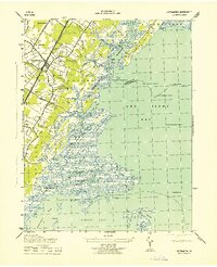
1943 · Nassawadox
USGS Topo · 1:31,680
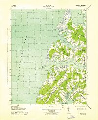
1943 · Jamesville
USGS Topo · 1:31,680
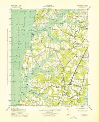
1943 · Franktown
USGS Topo · 1:31,680
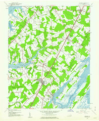
1943 · Exmore
USGS Topo · 1:24,000

1943 · Richmond
USGS Topo · 1:250,000
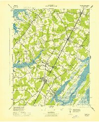
1944 · Exmore
USGS Topo · 1:31,680
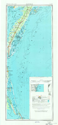
1946 · Eastville
USGS Topo · 1:250,000