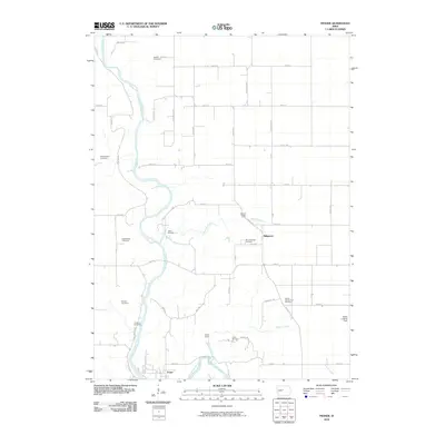
2010 Map of Fraser
USGS Topo · Published 2010About this map
The Des Moines River carves a deep path through Boone County, anchoring a landscape defined by its winding riparian corridor and the grid of rural roads that surround it. At the southern bend of the river, the settlement of Fraser sits low in the valley, while the community of Ridgeport and the Mineral Ridge area occupy the higher ground to the east. The terrain is marked by significant tributary activity from Mineral Branch and Elkhorn Creek, which cut through the agricultural uplands.
Find a feature on this map
54 named features on this map. Tap any name to fly to it.
Don’t see what you’re looking for? This feature index may not catch every label — zoom into the map to look around manually.
Map Details
Editions of this 2010 Fraser Map
This is the sole edition of this map. No revisions or reprints were ever made.
Other maps of this area

1916 · Boone
USGS Topo · 1:62,500

1923 · Lehigh
USGS Topo · 1:62,500

1951 · Ogden
USGS Topo · 1:62,500

1954 · Waterloo
USGS Topo · 1:250,000

1954 · Fort Dodge
USGS Topo · 1:250,000

1955 · Waterloo
USGS Topo · 1:250,000

1957 · Fort Dodge
USGS Topo · 1:250,000

1958 · Fort Dodge
USGS Topo · 1:250,000

1965 · Mackey
USGS Topo · 1:24,000

1965 · Fraser
USGS Topo · 1:24,000