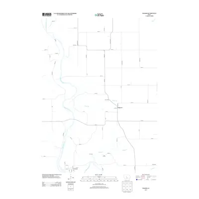
2013 Map of Fraser
USGS Topo · Published 2013About this map
The Des Moines River winds through this central Iowa landscape, defining the topography of the region as it bypasses the small settlement of Fraser. This 2013 survey illustrates a rural landscape where agricultural activity and wooded river valleys coexist, anchored by local landmarks such as Camp Morrison and the YWCA Camp located near the banks of Elkhorn Cr. To the northeast, the hamlet of Ridgeport sits near Mineral Ridge, a geographic feature that marks the transition from the river basin to the upland plains.
Find a feature on this map
60 named features on this map. Tap any name to fly to it.
Don’t see what you’re looking for? This feature index may not catch every label — zoom into the map to look around manually.
Map Details
Editions of this 2013 Fraser Map
This is the sole edition of this map. No revisions or reprints were ever made.
Other maps of this area

1916 · Boone
USGS Topo · 1:62,500

1923 · Lehigh
USGS Topo · 1:62,500

1951 · Ogden
USGS Topo · 1:62,500

1954 · Waterloo
USGS Topo · 1:250,000

1954 · Fort Dodge
USGS Topo · 1:250,000

1955 · Waterloo
USGS Topo · 1:250,000

1957 · Fort Dodge
USGS Topo · 1:250,000

1958 · Fort Dodge
USGS Topo · 1:250,000

1965 · Mackey
USGS Topo · 1:24,000

1965 · Fraser
USGS Topo · 1:24,000