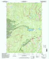
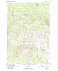
1996 Map of Fred Burr Lake
USGS Topo · Published 1996About this map
Deerlodge National Forest encompasses this high-altitude landscape in the mid-1990s, characterized by steep alpine ridges and a high density of named glacial lakes. The area around Granite and Rumsey reflects the region's enduring mining legacy, with numerous prospects and the Red Lion Mine dotting the slopes of Red Lion Mountain. These sites represent the historical extraction efforts that once drove the local economy, long before the transition toward modern recreation.
Find a feature on this map
40 named features on this map. Tap any name to fly to it.
Don’t see what you’re looking for? This feature index may not catch every label — zoom into the map to look around manually.
Map Details
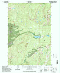
Editions of this 1996 Fred Burr Lake Map
2 editions found
Other maps of this area

1908 · Philipsburg
USGS Topo · 1:125,000

1947 · Butte
USGS Topo · 1:250,000

1958 · Butte
USGS Topo · 1:250,000

1960 · Butte
USGS Topo · 1:250,000

1962 · Butte
USGS Topo · 1:250,000

1971 · Henderson Mountain
USGS Topo · 1:24,000

1971 · Georgetown Lake
USGS Topo · 1:24,000
1971 · Pikes Peak
USGS Topo · 1:24,000
1971 · Maxville
USGS Topo · 1:24,000
1971 · West Valley
USGS Topo · 1:24,000