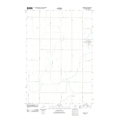
2012 Map of Frederick
USGS Topo · Published 2012About this map
Frederick sits at the heart of this Brown County landscape, defined by the winding paths of the Maple River and the Elm River. The town's grid is clearly delineated, centered on Main St and intersected by 1st Ave and 2nd Ave. The surrounding rural territory is organized by a precise network of section-line roads, including 382nd Ave and 107th St, which trace the agricultural legacy of the Dakotas. The drainage of Dry Br feeds into the larger river systems, illustrating the hydrological patterns of the northern plains. This 2012 survey captures the persistent layout of the region, showing how modern corridors like Co Hwy-10A integrate with the established town site and its riverine borders.
Find a feature on this map
22 named features on this map. Tap any name to fly to it.
Don’t see what you’re looking for? This feature index may not catch every label — zoom into the map to look around manually.
Map Details
Editions of this 2012 Frederick Map
This is the sole edition of this map. No revisions or reprints were ever made.
Other maps of this area

1894 · Ellendale
USGS Topo · 1:62,500

1894 · Columbia
USGS Topo · 1:62,500

1894 · Savo
USGS Topo · 1:62,500

1896 · Columbia
USGS Topo · 1:125,000

1899 · Ellendale
USGS Topo · 1:125,000

1952 · Westport
USGS Topo · 1:24,000

1952 · Richmond NE
USGS Topo · 1:24,000

1953 · Savo SW
USGS Topo · 1:24,000

1953 · Frederick
USGS Topo · 1:24,000

1953 · Ellendale South
USGS Topo · 1:24,000