Loading...
Loading map...2021 Map of Frederick
USGS Topo · Published 2021About this map
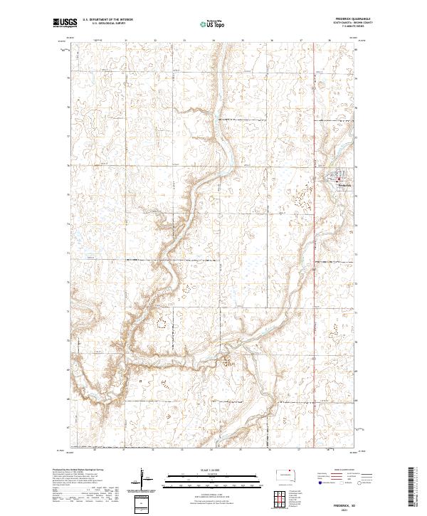
Frederick sits along the northern edge of the James River Valley, where the Maple River and Elm River meander through a landscape defined by the Public Land Survey System. The town center is structured around a compact grid featuring Main St and Railway Ave, reflecting the community's historical reliance on transportation and commerce. A local Po serves as a central landmark for this rural hub.
Find a feature on this map
30 named features on this map. Tap any name to fly to it.
Don’t see what you’re looking for? This feature index may not catch every label — zoom into the map to look around manually.
Map Details
Date Portrayed2021
Date Published2021
PublisherU.S. Geological Survey
Map TypeTopographic
Scale1:24000
Physical Dimensions24 x 29 inches
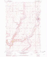
Editions of this 2021 Frederick Map
This is the sole edition of this map. No revisions or reprints were ever made.
Historical Maps of Palmyra Township Through Time
Featured Locations
- Franklyn Township, SD
- Allison Township, SD
- Frederick Township, SD
- Oneota Township, SD
- Frederick, Frederick Township
Source Details
SourceU.S. Geological Survey
CopyrightPublic Domain