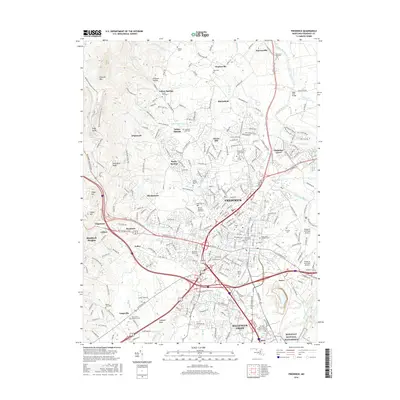
2016 Map of Frederick
USGS Topo · Published 2016About this map
Frederick and the Monocacy River valley are shown here during a period of modern expansion, where the dense city center transitions into suburban developments like Ballenger Creek and Clover Hill. The map highlights a significant concentration of cultural and educational institutions, including Hood College and Mt Saint Mary's University, alongside the expansive grounds of the Monocacy National Battlefield to the south. To the west, the terrain rises sharply toward Catoctin Mountain and High Knob, creating a distinct topographical boundary that has historically funneled transportation along the Old National Pike and Baltimore National Pike. Genealogists will find a wealth of burial records across the landscape, from the prominent Mount Olivet Cemetery to smaller family and parish sites like Saint John's Catholic Cemetery and the Pleasant Hill Cemetery in Indian Springs.
Find a feature on this map
66 named features on this map. Tap any name to fly to it.
Don’t see what you’re looking for? This feature index may not catch every label — zoom into the map to look around manually.
Map Details
Editions of this 2016 Frederick Map
This is the sole edition of this map. No revisions or reprints were ever made.
Other maps of this area

1884 · Harpers Ferry
USGS Topo · 1:125,000

1891 · Harpers Ferry
USGS Topo · 1:125,000

1893 · Frederick
USGS Topo · 1:125,000

1893 · Harpers Ferry
USGS Topo · 1:125,000

1894 · Frederick
USGS Topo · 1:125,000

1908 · Middletown
USGS Topo · 1:48,000

1908 · Ijamsville
USGS Topo · 1:62,500

1909 · Ijamsville
USGS Topo · 1:62,500

1909 · Hagerstown
USGS Topo · 1:48,000

1910 · Antietam
USGS Topo · 1:62,500