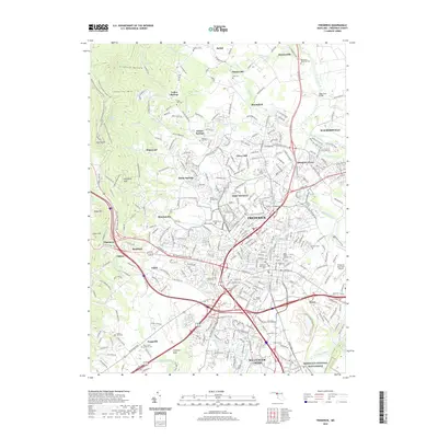
2019 Map of Frederick
USGS Topo · Published 2019About this map
The city of Frederick stands at the convergence of historic transit corridors, including the Baltimore National Pike and Jefferson Pike. This 2019 survey captures the modern footprint of the area, from the active installations at Fort Detrick to the preserved grounds of the Monocacy National Battlefield in the southeast. The landscape is defined by the winding course of the Monocacy River and its tributaries like Tuscarora Cr and Carroll Cr, which weave through suburban growth and agricultural clusters such as Yellow Springs and Walkersville.
Find a feature on this map
65 named features on this map. Tap any name to fly to it.
Don’t see what you’re looking for? This feature index may not catch every label — zoom into the map to look around manually.
Map Details
Editions of this 2019 Frederick Map
This is the sole edition of this map. No revisions or reprints were ever made.
Other maps of this area

1884 · Harpers Ferry
USGS Topo · 1:125,000

1891 · Harpers Ferry
USGS Topo · 1:125,000

1893 · Frederick
USGS Topo · 1:125,000

1893 · Harpers Ferry
USGS Topo · 1:125,000

1894 · Frederick
USGS Topo · 1:125,000

1908 · Middletown
USGS Topo · 1:48,000

1908 · Ijamsville
USGS Topo · 1:62,500

1909 · Ijamsville
USGS Topo · 1:62,500

1909 · Hagerstown
USGS Topo · 1:48,000

1910 · Antietam
USGS Topo · 1:62,500