
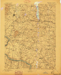
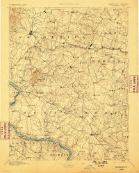
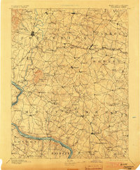
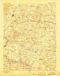
1894 Map of Frederick
USGS Topo · Published 1894About this map
The Monocacy River and its numerous tributaries, including Israel Cr. and Linganore Creek, define the agricultural and transit corridors of late 19th-century central Maryland. This survey by M. Hackett illustrates a landscape dominated by small crossroads settlements and the vital infrastructure of the Baltimore & Ohio R. R.. A notable landmark, Sugar Loaf Mtn., rises above the surrounding farmland, while the Potomac River border features historic crossings such as Nolands Ferry and Spinks Ferry.
Find a feature on this map
180 named features on this map. Tap any name to fly to it.
Don’t see what you’re looking for? This feature index may not catch every label — zoom into the map to look around manually.
Map Details
Editions of this 1894 Frederick Map
5 editions found
Other maps of this area

1884 · Harpers Ferry
USGS Topo · 1:125,000

1890 · Mt. Vernon
USGS Topo · 1:125,000

1891 · Harpers Ferry
USGS Topo · 1:125,000

1891 · Mt. Vernon
USGS Topo · 1:125,000

1892 · Laurel
USGS Topo · 1:62,500

1892 · Ellicott
USGS Topo · 1:62,500

1893 · Frederick
USGS Topo · 1:125,000

1893 · Harpers Ferry
USGS Topo · 1:125,000

1894 · Ellicott
USGS Topo · 1:62,500

1894 · Laurel
USGS Topo · 1:62,500