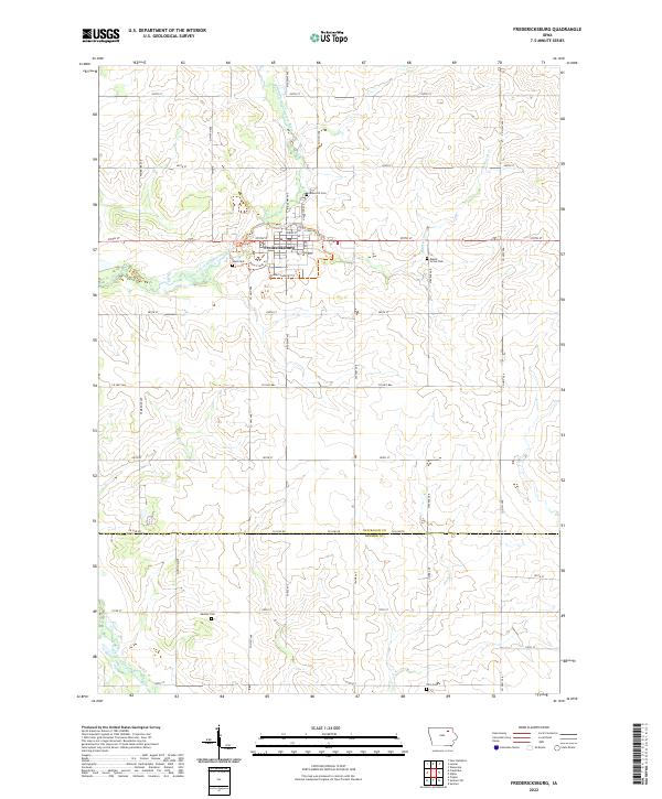
2022 Map of Fredericksburg
USGS Topo · Published 2022About this map
Fredericksburg serves as the central hub for this portion of northeastern Iowa, situated along the East Fork Wapsipinicon River. The landscape is organized by a precise grid of rural roads and county highways, including Co Hwy V48 and Co Hwy V56, which connect the town to surrounding agricultural lands. This survey highlights the distribution of community landmarks across several townships, specifically noting the location of Fredericksburg Tri and the Plum Creek Trl near the riverbanks.
Find a feature on this map
43 named features on this map. Tap any name to fly to it.
Don’t see what you’re looking for? This feature index may not catch every label — zoom into the map to look around manually.
Map Details
Editions of this 2022 Fredericksburg Map
This is the sole edition of this map. No revisions or reprints were ever made.
Other maps of this area

1954 · Mason City
USGS Topo · 1:250,000

1954 · Waterloo
USGS Topo · 1:250,000

1955 · Waterloo
USGS Topo · 1:250,000

1957 · Mason City
USGS Topo · 1:250,000

1958 · Mason City
USGS Topo · 1:250,000

1971 · Sumner
USGS Topo · 1:24,000

1971 · Alpha
USGS Topo · 1:24,000

1971 · Sumner SW
USGS Topo · 1:24,000

1971 · Fredericksburg
USGS Topo · 1:24,000

1971 · Frederika
USGS Topo · 1:24,000