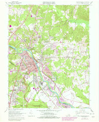
1966 Map of Fredericksburg
USGS Topo · Published 1978About this map
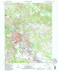
The Rappahannock River serves as the central artery for this mid-century survey, dividing the city of Fredericksburg from the rising suburbs and historic sites of Stafford County. The landscape is deeply defined by its Civil War heritage, with the Fredericksburg Battlefield and Maryes Heights National Cemetery preserving the tactical terrain of the 1860s. On the north bank, Ferry Farm and the site of Washingtons Boyhood Home anchor the area's colonial history, while the Richmond Fredericksburg and Potomac RR follows the established transport corridor through Dahlgren Junction.
Find a feature on this map
72 named features on this map. Tap any name to fly to it.
Don’t see what you’re looking for? This feature index may not catch every label — zoom into the map to look around manually.
Map Details
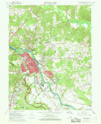
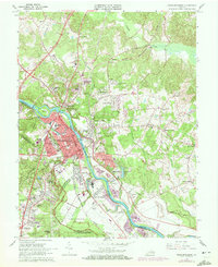
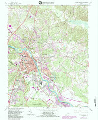
Editions of this 1966 Fredericksburg Map
5 editions found
Other maps of this area

1887 · Spottsylvania
USGS Topo · 1:125,000

1889 · Fredericksburg
USGS Topo · 1:125,000

1892 · Fredericksburg
USGS Topo · 1:125,000

1892 · Spottsylvania
USGS Topo · 1:125,000

1894 · Fredericksburg
USGS Topo · 1:125,000

1926 · Stafford
USGS Topo · 1:62,500

1931 · Stafford
USGS Topo · 1:62,500

1942 · Guinea
USGS Topo · 1:31,680

1942 · Spotsylania
USGS Topo · 1:31,680

1942 · Rappahannock Academy
USGS Topo · 1:31,680