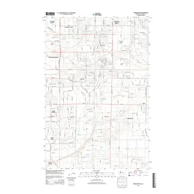
2014 Map of Frederickson
USGS Topo · Published 2014About this map
Frederickson and Graham anchor this Pierce County landscape during a period of significant residential and commercial expansion. The area is defined by a dense grid of numbered streets and avenues, reflecting the suburbanization of the timber and agricultural lands south of Tacoma. Critical transportation hubs like Pierce County Airport Thun Field and the smaller Shady Acres Airport underscore the region's connectivity.
Find a feature on this map
98 named features on this map. Tap any name to fly to it.
Don’t see what you’re looking for? This feature index may not catch every label — zoom into the map to look around manually.
Map Details
Editions of this 2014 Frederickson Map
This is the sole edition of this map. No revisions or reprints were ever made.
Other maps of this area

1897 · Tacoma
USGS Topo · 1:125,000

1900 · Tacoma
USGS Topo · 1:125,000
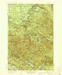
1937 · Eatonville
USGS Topo · 1:125,000
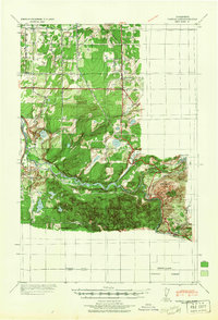
1941 · Tanwax Lake
USGS Topo · 1:62,500

1941 · Tacoma South
USGS Topo · 1:62,500
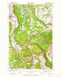
1942 · Lake Tapps
USGS Topo · 1:62,500
1944 · Lake Tapps
USGS Topo · 1:62,500
1944 · Tacoma South
USGS Topo · 1:62,500
1944 · Ohop Valley
USGS Topo · 1:62,500
1949 · Ohop Valley
USGS Topo · 1:62,500