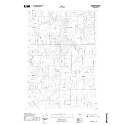
2020 Map of Frederickson
USGS Topo · Published 2020About this map
South Hill and Frederickson anchor this modern survey of Pierce County, depicting a landscape defined by extensive residential development and localized infrastructure. The suburban grid is interrupted by vital aviation hubs like the Pierce County Airport - Thun Field and the smaller Shady Acres Airport. Smaller communities such as Elk Plain and Graham show the continuing outward growth from the Tacoma-Seattle corridor, while the outlier settlement of Thrift sits at the edge of the more densely plotted neighborhoods.
Find a feature on this map
105 named features on this map. Tap any name to fly to it.
Don’t see what you’re looking for? This feature index may not catch every label — zoom into the map to look around manually.
Map Details
Editions of this 2020 Frederickson Map
This is the sole edition of this map. No revisions or reprints were ever made.
Other maps of this area

1897 · Tacoma
USGS Topo · 1:125,000

1900 · Tacoma
USGS Topo · 1:125,000

1937 · Eatonville
USGS Topo · 1:125,000

1941 · Tanwax Lake
USGS Topo · 1:62,500

1941 · Tacoma South
USGS Topo · 1:62,500

1942 · Lake Tapps
USGS Topo · 1:62,500

1944 · Lake Tapps
USGS Topo · 1:62,500

1944 · Tacoma South
USGS Topo · 1:62,500

1944 · Ohop Valley
USGS Topo · 1:62,500

1949 · Ohop Valley
USGS Topo · 1:62,500