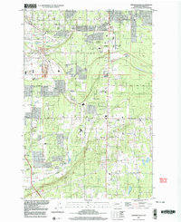
1997 Map of Frederickson
USGS Topo · Published 2003About this map
Frederickson and Graham anchor this late-twentieth-century study of central Pierce County, where a transition from rural homesteads to suburban development is visible. The landscape is defined by the headwaters of Clover Creek and Muck Creek, alongside the distinctive Rocky Ridge terrain. The map documents an area with deep community roots, evidenced by several local schools such as Rocky Ridge Sch and Pioneer Valley Sch, and numerous congregations including Bethel Ch and Immanuel Ch.
Find a feature on this map
44 named features on this map. Tap any name to fly to it.
Don’t see what you’re looking for? This feature index may not catch every label — zoom into the map to look around manually.
Map Details
Editions of this 1997 Frederickson Map
This is the sole edition of this map. No revisions or reprints were ever made.
Other maps of this area

1897 · Tacoma
USGS Topo · 1:125,000

1900 · Tacoma
USGS Topo · 1:125,000

1937 · Eatonville
USGS Topo · 1:125,000

1941 · Tanwax Lake
USGS Topo · 1:62,500

1941 · Tacoma South
USGS Topo · 1:62,500

1942 · Lake Tapps
USGS Topo · 1:62,500

1944 · Lake Tapps
USGS Topo · 1:62,500

1944 · Tacoma South
USGS Topo · 1:62,500

1944 · Ohop Valley
USGS Topo · 1:62,500

1949 · Ohop Valley
USGS Topo · 1:62,500