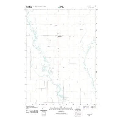
2010 Map of Frederika
USGS Topo · Published 2010About this map
The Wapsipinicon River and its East Fork define this agricultural landscape in Bremer County, where the river's winding course creates a complex network of wetlands and oxbows. The settlement of Frederika serves as the primary hub, situated near the confluence of Crane Creek and the main river channel, complete with its Frederika Post Office. This 2010 survey shows the intersection of rural heritage and modern infrastructure, from the established grounds of Saint Johns Cemetery and the North East Iowa Garden of Memories to the small community clusters at Williamstown and Dresden. The map illustrates a highly organized grid of rural roads, including Lilac Ave and 300th St, which partition the fertile plains between Etter Creek and the eastern river branches.
Find a feature on this map
35 named features on this map. Tap any name to fly to it.
Don’t see what you’re looking for? This feature index may not catch every label — zoom into the map to look around manually.
Map Details
Editions of this 2010 Frederika Map
This is the sole edition of this map. No revisions or reprints were ever made.
Other maps of this area

1954 · Mason City
USGS Topo · 1:250,000

1954 · Waterloo
USGS Topo · 1:250,000

1955 · Waterloo
USGS Topo · 1:250,000

1957 · Mason City
USGS Topo · 1:250,000

1958 · Mason City
USGS Topo · 1:250,000

1971 · Bremer
USGS Topo · 1:24,000

1971 · Sumner SW
USGS Topo · 1:24,000

1971 · Tripoli NW
USGS Topo · 1:24,000

1971 · Fredericksburg
USGS Topo · 1:24,000

1971 · Frederika
USGS Topo · 1:24,000