2018 Map of Frederika
USGS Topo · Published 2018About this map
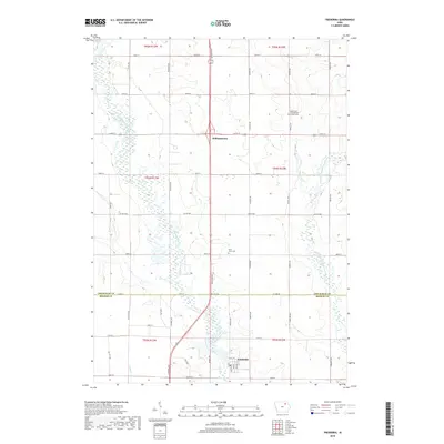
Frederika and the surrounding farmland of Chickasaw and Bremer counties are defined by the winding course of the Wapsipinicon River. This 2018 survey shows the confluence of major local waterways, including the East Fork Wapsipinicon River, Etter Cr, and Crane Cr, which dictate the rural landscape's drainage and road layout. The settlement of Williamstown sits near the northern boundary, while local genealogy is anchored by the Saint Johns Cem and the North East Iowa Garden of Memories. The map details a dense grid of township roads like McCloud Ave and 270th St that connect family farms across this part of the Cedar Valley region. The boundary between Chickasaw and Bremer counties is clearly marked along Co Line Rd, reflecting the formal administrative divisions that have shaped local land use for generations.
Find a feature on this map
49 named features on this map. Tap any name to fly to it.
Don’t see what you’re looking for? This feature index may not catch every label — zoom into the map to look around manually.
Map Details
Editions of this 2018 Frederika Map
This is the sole edition of this map. No revisions or reprints were ever made.
Other maps of this area

1954 · Mason City
USGS Topo · 1:250,000

1954 · Waterloo
USGS Topo · 1:250,000

1955 · Waterloo
USGS Topo · 1:250,000

1957 · Mason City
USGS Topo · 1:250,000

1958 · Mason City
USGS Topo · 1:250,000

1971 · Bremer
USGS Topo · 1:24,000

1971 · Sumner SW
USGS Topo · 1:24,000

1971 · Tripoli NW
USGS Topo · 1:24,000

1971 · Fredericksburg
USGS Topo · 1:24,000

1971 · Frederika
USGS Topo · 1:24,000