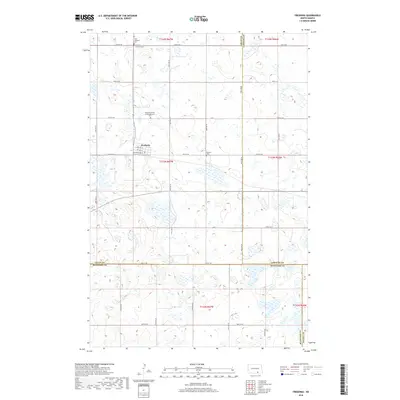
2018 Map of Fredonia
USGS Topo · Published 2018About this map
Fredonia serves as the central hub of this prairie landscape, situated where the borders of Logan, LaMoure, and McIntosh counties converge. The town site is defined by a grid including 2nd Ave W, 1st Ave W, and Railroad Ave W, reflecting its origins as a transit point for agricultural goods. The surrounding countryside is heavily marked by small depressions and wetlands, characteristic of the glaciated plains, with a dense network of section-line roads like 72nd St SE and 64th Ave SE providing access to isolated farmsteads.
Find a feature on this map
32 named features on this map. Tap any name to fly to it.
Don’t see what you’re looking for? This feature index may not catch every label — zoom into the map to look around manually.
Map Details
Editions of this 2018 Fredonia Map
This is the sole edition of this map. No revisions or reprints were ever made.
Other maps of this area

1896 · Edgeley
USGS Topo · 1:125,000

1925 · Edgeley
USGS Topo · 1:125,000

1953 · Jamestown
USGS Topo · 1:250,000

1956 · Jamestown
USGS Topo · 1:250,000

1971 · Merricourt NW
USGS Topo · 1:24,000

1982 · Coldwater Lake NW
USGS Topo · 1:24,000

1982 · Fredonia NW
USGS Topo · 1:24,000

1982 · Guyson
USGS Topo · 1:24,000

1982 · Coldwater Lake NE
USGS Topo · 1:24,000

1982 · Fredonia
USGS Topo · 1:24,000