
1971 Map of Merricourt NW
USGS Topo · Published 1973About this map
Glacial prairie potholes and intermittent wetlands define this landscape in Dickey County, where the township boundaries of Northwest, German, and Whitestone meet. This 1971 field-checked map shows a rural agricultural pattern centered on localized community landmarks rather than concentrated towns. Notable for genealogists, the map identifies several burial grounds including Roloff Cem and Hoffnungsfeld Cem, alongside the Seventh Day Adventist Ch in the southwestern corner. These sites, along with two distinct Townhall locations, serve as the primary anchors for the surrounding farmsteads. The terrain is dominated by small, scattered water bodies, the largest being Hilles Lake, which sits near the center of the survey area. Small-scale industrial activity is represented by scattered Gravel Pit sites, reflecting the region's reliance on local natural resources for road building and maintenance.
Find a feature on this map
10 named features on this map. Tap any name to fly to it.
Don’t see what you’re looking for? This feature index may not catch every label — zoom into the map to look around manually.
Map Details
Editions of this 1971 Merricourt NW Map
This is the sole edition of this map. No revisions or reprints were ever made.
Other maps of this area

1896 · Edgeley
USGS Topo · 1:125,000

1925 · Edgeley
USGS Topo · 1:125,000

1953 · Jamestown
USGS Topo · 1:250,000

1956 · Jamestown
USGS Topo · 1:250,000
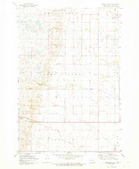
1971 · Merricourt SE
USGS Topo · 1:24,000

1971 · Merricourt
USGS Topo · 1:24,000
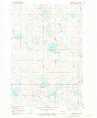
1971 · Merricourt SW
USGS Topo · 1:24,000

1982 · Coldwater Lake NE
USGS Topo · 1:24,000

1982 · Fredonia
USGS Topo · 1:24,000
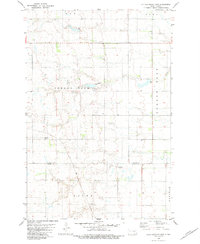
1982 · Kulm-Edgeley Dam
USGS Topo · 1:24,000