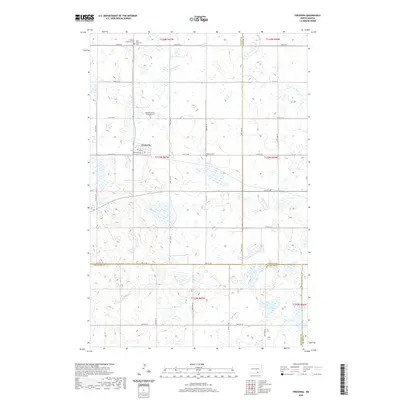
2020 Map of Fredonia
USGS Topo · Published 2020About this map
Fredonia serves as the central hub of this prairie landscape, situated at the intersection of 1st Ave W and Railroad Ave W. The layout of the town and its surrounding section lines reflect the late 19th-century homesteading patterns common to the Great Plains, where the grid iron system dictated property and road boundaries. Religious and community heritage is deeply etched into the land, visible through sites like the Nazareth Parish Congregational Cem and the Fredonia Lutheran Cem Saint Johannes Cem north of town. The map also records the meeting point of several administrative borders, including the triple point for Logan, LaMoure, and McIntosh counties. Further east, the Pamona Cem stands as another isolated marker of the families who settled this agricultural expanse.
Find a feature on this map
32 named features on this map. Tap any name to fly to it.
Don’t see what you’re looking for? This feature index may not catch every label — zoom into the map to look around manually.
Map Details
Editions of this 2020 Fredonia Map
This is the sole edition of this map. No revisions or reprints were ever made.
Other maps of this area

1896 · Edgeley
USGS Topo · 1:125,000

1925 · Edgeley
USGS Topo · 1:125,000

1953 · Jamestown
USGS Topo · 1:250,000

1956 · Jamestown
USGS Topo · 1:250,000

1971 · Merricourt NW
USGS Topo · 1:24,000

1982 · Coldwater Lake NW
USGS Topo · 1:24,000

1982 · Fredonia NW
USGS Topo · 1:24,000

1982 · Guyson
USGS Topo · 1:24,000

1982 · Coldwater Lake NE
USGS Topo · 1:24,000

1982 · Fredonia
USGS Topo · 1:24,000