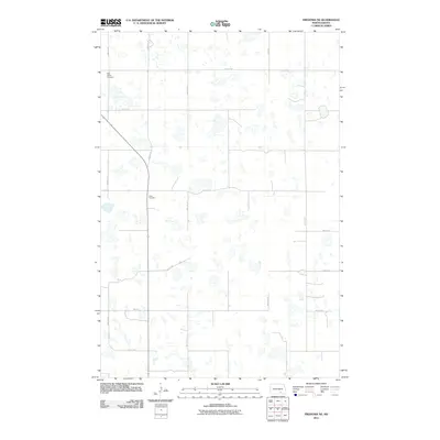
2011 Map of Fredonia NE
USGS Topo · Published 2011About this map
Saint James Cemetery and Tiede Cemetery serve as the primary historic landmarks in this quiet corner of Logan County, North Dakota. The landscape is defined by an intricate network of sectional roads and glacial prairie potholes, illustrating the grid-based agricultural development of the region. This 2011 survey by the U.S. Geological Survey shows a sparsely populated area where gravel roads like 64th Ave SE and 67th St SE crisscross the terrain to connect remote farmsteads. The lack of concentrated settlements highlights the enduring rural character of Gutschmidt Township, where the location of family cemeteries remains a vital link to the area's pioneer history and genealogy.
Find a feature on this map
15 named features on this map. Tap any name to fly to it.
Don’t see what you’re looking for? This feature index may not catch every label — zoom into the map to look around manually.
Map Details
Editions of this 2011 Fredonia NE Map
This is the sole edition of this map. No revisions or reprints were ever made.
Other maps of this area

1896 · Jamestown
USGS Topo · 1:125,000

1896 · Edgeley
USGS Topo · 1:125,000

1925 · Edgeley
USGS Topo · 1:125,000

1953 · Jamestown
USGS Topo · 1:250,000

1953 · Jud
USGS Topo · 1:24,000

1956 · Jamestown
USGS Topo · 1:250,000

1982 · Fredonia NW
USGS Topo · 1:24,000

1982 · Guyson
USGS Topo · 1:24,000

1982 · Fredonia
USGS Topo · 1:24,000

1982 · Schlecht-Weixel Dam
USGS Topo · 1:24,000