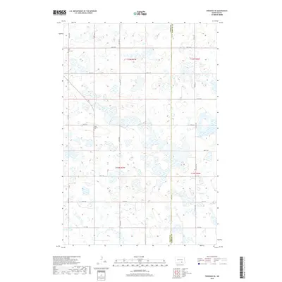
2018 Map of Fredonia NE
USGS Topo · Published 2018About this map
Glacial prairie potholes and scattered wetlands define the landscape of Gutschmidt Township at the boundary of Logan Co and Lamoure Co. This section of the Missouri Coteau region is characterized by an intricate network of small water bodies and seasonal basins, with the local infrastructure following a strict section-line grid. Saint James Cem sits in the northwest, serving as a landmark for early settlement history in the township. Further south, the Tiede Lutheran Cem provides a genealogical connection to the German-Russian heritage of the families who farmed these high plains. The lack of concentrated town sites reflects the dispersed agricultural nature of the region during this 2018 survey, where movement is dictated by a network of rural roads such as 62nd Ave SE and 64th St SE.
Find a feature on this map
19 named features on this map. Tap any name to fly to it.
Don’t see what you’re looking for? This feature index may not catch every label — zoom into the map to look around manually.
Map Details
Editions of this 2018 Fredonia NE Map
This is the sole edition of this map. No revisions or reprints were ever made.
Other maps of this area

1896 · Jamestown
USGS Topo · 1:125,000

1896 · Edgeley
USGS Topo · 1:125,000

1925 · Edgeley
USGS Topo · 1:125,000

1953 · Jamestown
USGS Topo · 1:250,000

1953 · Jud
USGS Topo · 1:24,000

1956 · Jamestown
USGS Topo · 1:250,000

1982 · Fredonia NW
USGS Topo · 1:24,000

1982 · Guyson
USGS Topo · 1:24,000

1982 · Fredonia
USGS Topo · 1:24,000

1982 · Schlecht-Weixel Dam
USGS Topo · 1:24,000