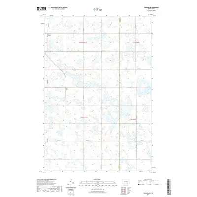
2020 Map of Fredonia NE
USGS Topo · Published 2020About this map
Glacial prairie potholes and seasonal wetlands dominate the terrain of Logan Co and Lamoure Co, where a grid of section-line roads like 62nd Ave SE and 64th St SE bisects the agricultural landscape. The map provides essential data for genealogists and local historians, specifically marking the locations of Saint James Cem in the northwest and Tiede Lutheran Cem further south. These sites, often all that remains of early township congregations, serve as key anchors in this sparsely populated stretch of North Dakota. The intricate network of wetlands and small water bodies reveals the natural hydrology of the Missouri Coteau region, illustrating how early 20th-century land divisions were overlaid upon this complex, water-dotted geography.
Find a feature on this map
18 named features on this map. Tap any name to fly to it.
Don’t see what you’re looking for? This feature index may not catch every label — zoom into the map to look around manually.
Map Details
Editions of this 2020 Fredonia NE Map
This is the sole edition of this map. No revisions or reprints were ever made.
Other maps of this area

1896 · Jamestown
USGS Topo · 1:125,000

1896 · Edgeley
USGS Topo · 1:125,000

1925 · Edgeley
USGS Topo · 1:125,000

1953 · Jamestown
USGS Topo · 1:250,000

1953 · Jud
USGS Topo · 1:24,000

1956 · Jamestown
USGS Topo · 1:250,000

1982 · Fredonia NW
USGS Topo · 1:24,000

1982 · Guyson
USGS Topo · 1:24,000

1982 · Fredonia
USGS Topo · 1:24,000

1982 · Schlecht-Weixel Dam
USGS Topo · 1:24,000