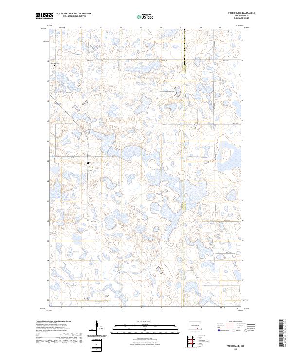
2024 Map of Fredonia NE
USGS Topo · Published 2024About this map
Glacial prairie potholes and seasonal wetlands define this section of the Missouri Coteau along the boundary of Logan Co Lamoure Co. The landscape is a complex network of small water bodies and basins, a character preserved within the Logan County Waterfowl Production Area in the northwest. This area of North Dakota remains largely dedicated to section-line agriculture, with a grid of rural roads including 64th St SE and 66th Ave providing access to the interior. For genealogists and local historians, the map identifies two specific burial sites: Saint James Cem near the western edge and Tiede Lutheran Cem further south, both serving as focal points for the dispersed farming community in townships T135N and T134N.
Find a feature on this map
21 named features on this map. Tap any name to fly to it.
Don’t see what you’re looking for? This feature index may not catch every label — zoom into the map to look around manually.
Map Details
Editions of this 2024 Fredonia NE Map
This is the sole edition of this map. No revisions or reprints were ever made.
Other maps of this area

1896 · Jamestown
USGS Topo · 1:125,000

1896 · Edgeley
USGS Topo · 1:125,000

1925 · Edgeley
USGS Topo · 1:125,000

1953 · Jamestown
USGS Topo · 1:250,000

1953 · Jud
USGS Topo · 1:24,000

1956 · Jamestown
USGS Topo · 1:250,000

1982 · Fredonia NW
USGS Topo · 1:24,000

1982 · Guyson
USGS Topo · 1:24,000

1982 · Fredonia
USGS Topo · 1:24,000

1982 · Schlecht-Weixel Dam
USGS Topo · 1:24,000