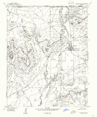
1954 Map of Fredonia NE
USGS Topo · Published 1958About this map
Fredonia serves as the focal point of this mid-century survey, situated at the crossroads of the northern Arizona borderlands. This landscape is defined by the complex borders of the Kaibab Indian Reservation and multiple county lines, including the intersection of Mohave and Coconino counties. The area's reliance on water management in an arid environment is evident through the presence of an underground aqueduct and numerous water sources such as Cottonwood Spring and Sixmile Spring.
Find a feature on this map
33 named features on this map. Tap any name to fly to it.
Don’t see what you’re looking for? This feature index may not catch every label — zoom into the map to look around manually.
Map Details
Editions of this 1954 Fredonia NE Map
This is the sole edition of this map. No revisions or reprints were ever made.
Other maps of this area

1886 · Kanab
USGS Topo · 1:250,000

1886 · Kaibab
USGS Topo · 1:250,000

1953 · Cedar City
USGS Topo · 1:250,000

1953 · Grand Canyon
USGS Topo · 1:250,000

1954 · Kanab SW
USGS Topo · 1:24,000
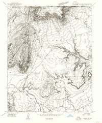
1954 · Fredonia NW
USGS Topo · 1:24,000

1954 · Kanab SE
USGS Topo · 1:24,000

1954 · Shinarump NW
USGS Topo · 1:24,000
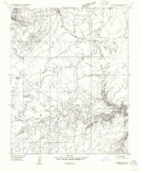
1954 · Fredonia SW
USGS Topo · 1:24,000

1954 · Johnson SW
USGS Topo · 1:24,000