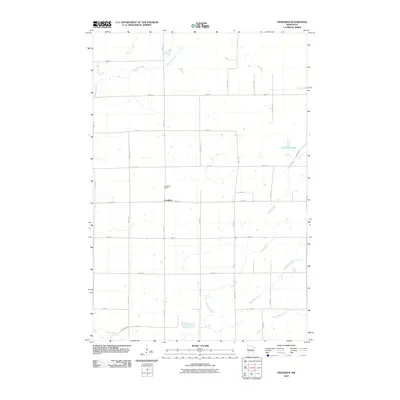
2010 Map of Freedhem
USGS Topo · Published 2010About this map
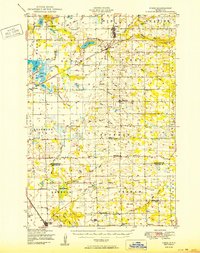
Freedhem anchors this part of Morrison County, serving as a focal point for a landscape defined by an extensive network of creeks and the winding path of the Platte River. The map documents the rural organization of the area, where the Freedhem Cemetery stands as a significant landmark for local family history and genealogy. The terrain is crisscrossed by a grid of local roads like Jewel Rd and 203rd St, which navigate the various waterways including Fletcher Creek to the north and Big Mink Creek to the south.
Find a feature on this map
29 named features on this map. Tap any name to fly to it.
Don’t see what you’re looking for? This feature index may not catch every label — zoom into the map to look around manually.
Map Details
Editions of this 2010 Freedhem Map
This is the sole edition of this map. No revisions or reprints were ever made.
Other maps of this area
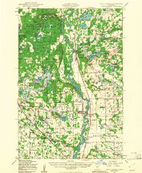
1948 · Belle Prairie
USGS Topo · 1:62,500
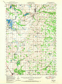
1948 · Pierz
USGS Topo · 1:62,500
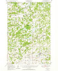
1948 · Lastrup
USGS Topo · 1:62,500
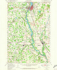
1948 · Little Falls
USGS Topo · 1:62,500
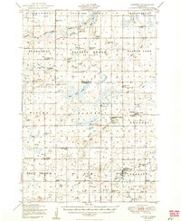
1950 · Lastrup
USGS Topo · 1:62,500
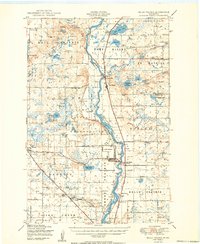
1950 · Belle Prairie
USGS Topo · 1:62,500
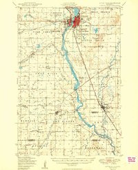
1950 · Little Falls
USGS Topo · 1:62,500
1950 · Pierz
USGS Topo · 1:62,500

1953 · Brainerd
USGS Topo · 1:250,000

1953 · Saint Cloud
USGS Topo · 1:250,000