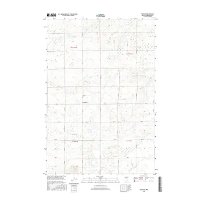
2016 Map of Freedhem
USGS Topo · Published 2016About this map
The settlement of Freedhem anchors this part of Morrison County, established within the township lines of t42n r31w and t41n r31w. The landscape is defined by a dense network of small watercourses and wetlands, including the Platte River which cuts through the southern sections. Local history is centered around the Freedhem Cem, located just north of the village center.
Find a feature on this map
41 named features on this map. Tap any name to fly to it.
Don’t see what you’re looking for? This feature index may not catch every label — zoom into the map to look around manually.
Map Details
Editions of this 2016 Freedhem Map
This is the sole edition of this map. No revisions or reprints were ever made.
Other maps of this area

1948 · Belle Prairie
USGS Topo · 1:62,500

1948 · Pierz
USGS Topo · 1:62,500

1948 · Lastrup
USGS Topo · 1:62,500

1948 · Little Falls
USGS Topo · 1:62,500

1950 · Lastrup
USGS Topo · 1:62,500

1950 · Belle Prairie
USGS Topo · 1:62,500

1950 · Little Falls
USGS Topo · 1:62,500

1950 · Pierz
USGS Topo · 1:62,500

1953 · Brainerd
USGS Topo · 1:250,000

1953 · Saint Cloud
USGS Topo · 1:250,000