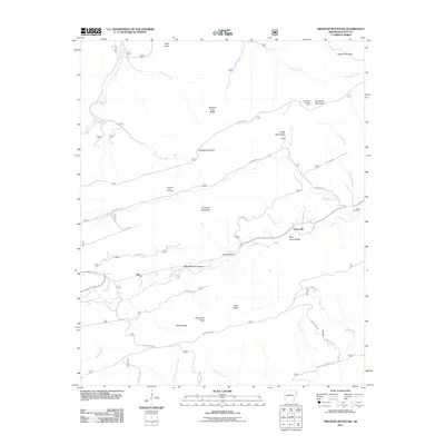
2011 Map of Freedom Mountain
USGS Topo · Published 2011About this map
The community of Olio serves as a central point in this rugged portion of Scott County, where the landscape is defined by high ridges and narrow creek valleys. To the north, Freedom Mountain and Spanish Oak Ridge separate the drainage of Freedom Creek from the headwaters of Kingdoodle Creek and Sugar Creek. Local history is anchored by the Freedom Creek Cemetery and the Hunt Cemetery near the eastern border, providing important points of interest for genealogical research in this rural upland area.
Find a feature on this map
49 named features on this map. Tap any name to fly to it.
Don’t see what you’re looking for? This feature index may not catch every label — zoom into the map to look around manually.
Map Details
Editions of this 2011 Freedom Mountain Map
This is the sole edition of this map. No revisions or reprints were ever made.
Other maps of this area

1879 · Mountain Home
USGS Topo · 1:62,500

1887 · Magazine Mountain #4
USGS Topo · 1:62,500

1887 · Mount Ida #2
USGS Topo · 1:62,500

1887 · Magazine Mountain #3
USGS Topo · 1:62,500

1887 · Magazine Mountain
USGS Topo · 1:62,500

1890 · Magazine Mountain
USGS Topo · 1:125,000

1890 · Mount Ida
USGS Topo · 1:125,000

1934 · Booneville
USGS Topo · 1:48,000

1939 · Booneville
USGS Topo · 1:62,500

1955 · Little Rock
USGS Topo · 1:250,000