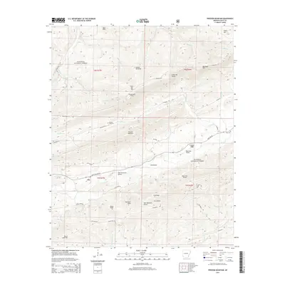
2014 Map of Freedom Mountain
USGS Topo · Published 2014About this map
Freedom Mountain and the surrounding peaks of the Ouachita National Forest dominate this Scott County landscape, defined by sharp ridges and deep drainage basins. The settlement of Olio serves as a central point along State Hwy 80, while Union Hill sits to the east, tucked between Parker Br and Dutch Cr. The map reveals a network of forest roads and historic tracks such as Indian Trail Rd and Cold Spring Rd, providing access to the more isolated stretches of Petit Jean Mtn and Dutch Creek Mtn. Local family history is preserved at the Freedom Creek Cem and Hunt Cem, located near the winding course of Freedom Cr. This topography highlights the transition from high points like Bald Knob to the low-lying reaches of Suck Hollow and West Moreland Hollow.
Find a feature on this map
90 named features on this map. Tap any name to fly to it.
Don’t see what you’re looking for? This feature index may not catch every label — zoom into the map to look around manually.
Map Details
Editions of this 2014 Freedom Mountain Map
This is the sole edition of this map. No revisions or reprints were ever made.
Other maps of this area

1879 · Mountain Home
USGS Topo · 1:62,500

1887 · Magazine Mountain #4
USGS Topo · 1:62,500

1887 · Mount Ida #2
USGS Topo · 1:62,500

1887 · Magazine Mountain #3
USGS Topo · 1:62,500

1887 · Magazine Mountain
USGS Topo · 1:62,500

1890 · Magazine Mountain
USGS Topo · 1:125,000

1890 · Mount Ida
USGS Topo · 1:125,000

1934 · Booneville
USGS Topo · 1:48,000

1939 · Booneville
USGS Topo · 1:62,500

1955 · Little Rock
USGS Topo · 1:250,000