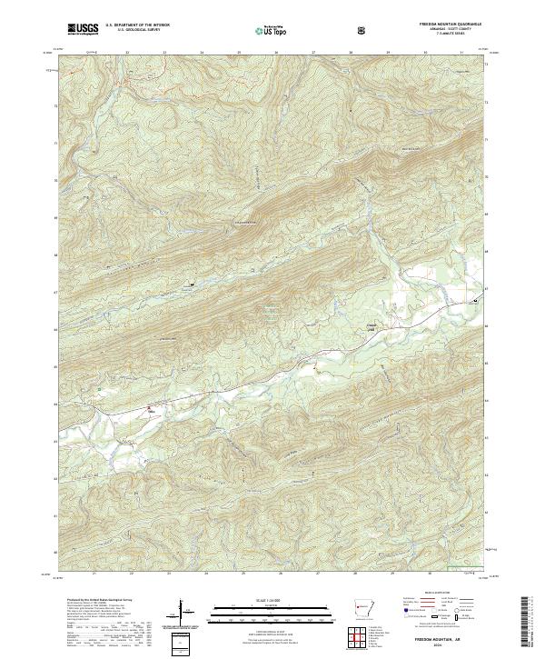
2024 Map of Freedom Mountain
USGS Topo · Published 2024About this map
Petit Jean Mountain and Freedom Mtn anchor this modern-era study of Scott County, where the southern reaches of the Ouachita National Forest meet the winding drainage of Sugar Creek. The settlement pattern centers on the small community of Olio in the southwest, surrounded by a complex network of ridges and hollows such as West Moreland Hollow and Coffee Pot Hollow. This map preserves the locations of local landmarks like Freedom Creek Cem and Hunt Cem, which serve as vital markers for family historians and genealogists researching the residents of these upland valleys.
Find a feature on this map
51 named features on this map. Tap any name to fly to it.
Don’t see what you’re looking for? This feature index may not catch every label — zoom into the map to look around manually.
Map Details
Editions of this 2024 Freedom Mountain Map
This is the sole edition of this map. No revisions or reprints were ever made.
Other maps of this area

1879 · Mountain Home
USGS Topo · 1:62,500

1887 · Magazine Mountain #4
USGS Topo · 1:62,500

1887 · Mount Ida #2
USGS Topo · 1:62,500

1887 · Magazine Mountain #3
USGS Topo · 1:62,500

1887 · Magazine Mountain
USGS Topo · 1:62,500

1890 · Magazine Mountain
USGS Topo · 1:125,000

1890 · Mount Ida
USGS Topo · 1:125,000

1934 · Booneville
USGS Topo · 1:48,000

1939 · Booneville
USGS Topo · 1:62,500

1955 · Little Rock
USGS Topo · 1:250,000