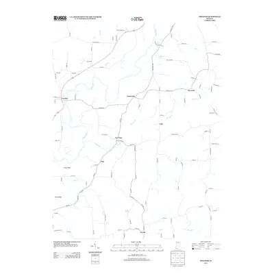
2013 Map of Freedom
USGS Topo · Published 2013About this map
The White River winds through this rural landscape of southwestern Indiana, defining the geography of small agricultural settlements and wooded ridges. This area is anchored by several distinct communities, from Freedom along the river to Newark in the southern reaches. The map reflects a deeply rooted rural infrastructure, where local life follows the topography of Stokey Ridge and Kelley Ridge. Historical transport routes are evident in labels like Big Four Rd, hinting at the region's former rail connectivity, while numerous watercourses such as Raccoon Cr and Lick Cr drain the fertile valleys. Central to the quadrangle are smaller nodes like Pottersville and New Hope, which serve as connecting points for a network of county roads that have supported Owen County's farm-to-market economy for generations.
Find a feature on this map
95 named features on this map. Tap any name to fly to it.
Don’t see what you’re looking for? This feature index may not catch every label — zoom into the map to look around manually.
Map Details
Editions of this 2013 Freedom Map
This is the sole edition of this map. No revisions or reprints were ever made.
Other maps of this area

1908 · Bloomington
USGS Topo · 1:48,000

1908 · Bloomfield
USGS Topo · 1:62,500

1910 · Bloomington
USGS Topo · 1:62,500

1947 · Gosport
USGS Topo · 1:24,000

1950 · Gosport
USGS Topo · 1:24,000

1950 · Arney
USGS Topo · 1:24,000

1951 · Bloomfield
USGS Topo · 1:24,000

1953 · Indianapolis
USGS Topo · 1:250,000

1956 · Indianapolis
USGS Topo · 1:250,000

1956 · Patricksburg
USGS Topo · 1:24,000