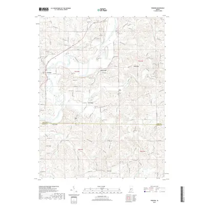
2019 Map of Freedom
USGS Topo · Published 2019About this map
The White River carves a winding path through this portion of Owen and Greene counties, anchoring a rural landscape defined by small crossroads settlements and numerous family burial grounds. The town of Freedom sits near the river's western bend, while other established communities like Pottersville, Newark, and Braysville are connected by a network of county roads such as Pottersville Rd and Braysville Rd. The density of small cemeteries, including Hicks Cem, Leach Cem, and Neeley Cem, suggests a long history of local kinship and land ownership.
Find a feature on this map
144 named features on this map. Tap any name to fly to it.
Don’t see what you’re looking for? This feature index may not catch every label — zoom into the map to look around manually.
Map Details
Editions of this 2019 Freedom Map
This is the sole edition of this map. No revisions or reprints were ever made.
Other maps of this area

1908 · Bloomington
USGS Topo · 1:48,000

1908 · Bloomfield
USGS Topo · 1:62,500

1910 · Bloomington
USGS Topo · 1:62,500

1947 · Gosport
USGS Topo · 1:24,000

1950 · Gosport
USGS Topo · 1:24,000

1950 · Arney
USGS Topo · 1:24,000

1951 · Bloomfield
USGS Topo · 1:24,000

1953 · Indianapolis
USGS Topo · 1:250,000

1956 · Indianapolis
USGS Topo · 1:250,000

1956 · Patricksburg
USGS Topo · 1:24,000