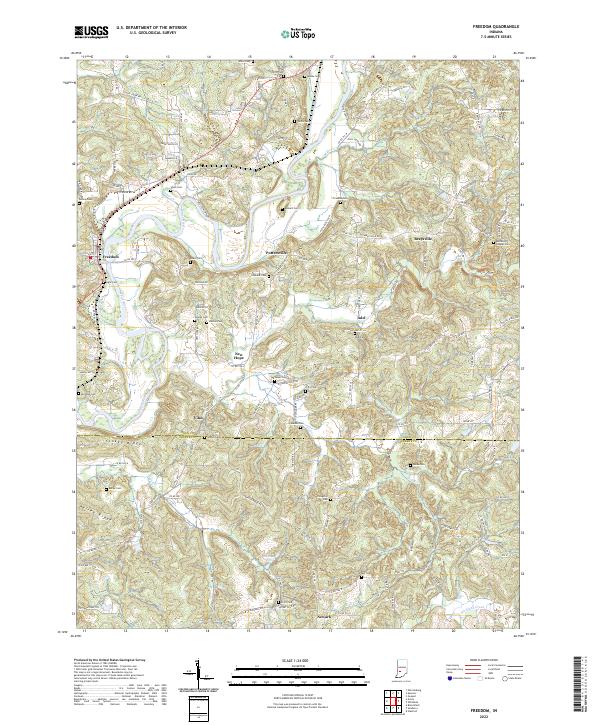
2022 Map of Freedom
USGS Topo · Published 2022About this map
White River meanders through this portion of Indiana, carving a path between the settlements of Freedom and Pottersville. The landscape is defined by the winding valley and elevated terrain like Stokey Ridge and Kelley Ridge, where a dense network of country roads connects family cemeteries and small communities. These burial sites, including Hicks Cem and Heddings Chapel Cem, are scattered across the townships, reflecting the deep-rooted rural settlement patterns of the region. The map captures the meeting of several townships, including t9n r4w and t9n r3w, along the border of Owen and Greene counties. From the crossroads at New Hope to the banks of Richland Creek, the area remains characterized by its riparian geography and numerous small-scale rural landmarks that have persisted through generations of family farming.
Find a feature on this map
139 named features on this map. Tap any name to fly to it.
Don’t see what you’re looking for? This feature index may not catch every label — zoom into the map to look around manually.
Map Details
Editions of this 2022 Freedom Map
This is the sole edition of this map. No revisions or reprints were ever made.
Other maps of this area

1908 · Bloomington
USGS Topo · 1:48,000

1908 · Bloomfield
USGS Topo · 1:62,500

1910 · Bloomington
USGS Topo · 1:62,500

1947 · Gosport
USGS Topo · 1:24,000

1950 · Gosport
USGS Topo · 1:24,000

1950 · Arney
USGS Topo · 1:24,000

1951 · Bloomfield
USGS Topo · 1:24,000

1953 · Indianapolis
USGS Topo · 1:250,000

1956 · Indianapolis
USGS Topo · 1:250,000

1956 · Patricksburg
USGS Topo · 1:24,000