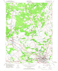
1953 Map of Freehold
USGS Topo · Published 1967About this map
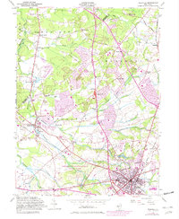
The town of Freehold serves as the focal point for this mid-century survey, showing the borough's dense street grid at the intersection of the Pennsylvania RR and the Central RR of New Jersey. The landscape reveals a transition from the developing town center to an agricultural and early suburban periphery defined by a network of historic milling sites and crossroads. Notable family-named settlements like Taylors Mills, Gordons Corner, and Robertsville are connected by thoroughfares such as Old Texas Road and Milford Road.
Find a feature on this map
50 named features on this map. Tap any name to fly to it.
Don’t see what you’re looking for? This feature index may not catch every label — zoom into the map to look around manually.
Map Details
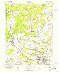
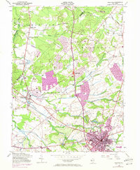
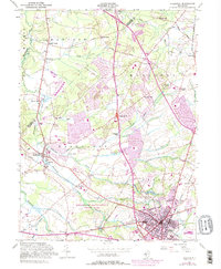
Editions of this 1953 Freehold Map
5 editions found
Other maps of this area

1888 · New Brunswick
USGS Topo · 1:62,500

1888 · Asbury Park
USGS Topo · 1:62,500

1888 · Cassville
USGS Topo · 1:62,500

1888 · Sandy Hook
USGS Topo · 1:62,500

1893 · New Brunswick
USGS Topo · 1:62,500

1893 · Sandy Hook
USGS Topo · 1:62,500

1893 · Asbury Park
USGS Topo · 1:62,500

1894 · Cassville
USGS Topo · 1:62,500

1900 · Cassville
USGS Topo · 1:62,500

1901 · New Brunswick
USGS Topo · 1:62,500
Featured Places
- Old Bridge Township, NJ
- Monroe Township, NJ
- Marlboro Township, NJ
- Manalapan Township, NJ
- Freehold Township, NJ