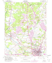
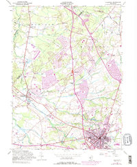
1953 Map of Freehold
USGS Topo · Published 1982About this map
Monmouth Battlefield State Park occupies a central role in this mid-century view of Monmouth County, preserving the site of the Revolutionary War conflict just west of the expanding seat at Freehold. The landscape is a network of small, family-named hamlets and mill sites such as Taylors Mills, Gordons Corner, and Lafayette Mills, which are linked by several waterways including Matchaponix Brook and Weamaconk Creek.
Find a feature on this map
56 named features on this map. Tap any name to fly to it.
Don’t see what you’re looking for? This feature index may not catch every label — zoom into the map to look around manually.
Map Details
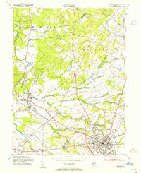
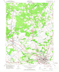
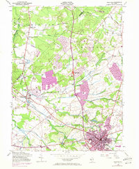
Editions of this 1953 Freehold Map
5 editions found
Other maps of this area

1888 · New Brunswick
USGS Topo · 1:62,500

1888 · Asbury Park
USGS Topo · 1:62,500

1888 · Cassville
USGS Topo · 1:62,500

1888 · Sandy Hook
USGS Topo · 1:62,500

1893 · New Brunswick
USGS Topo · 1:62,500

1893 · Sandy Hook
USGS Topo · 1:62,500

1893 · Asbury Park
USGS Topo · 1:62,500

1894 · Cassville
USGS Topo · 1:62,500

1900 · Cassville
USGS Topo · 1:62,500

1901 · New Brunswick
USGS Topo · 1:62,500
Featured Places
- Old Bridge Township, NJ
- Monroe Township, NJ
- Marlboro Township, NJ
- Manalapan Township, NJ
- Freehold Township, NJ