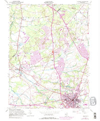
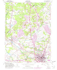
1953 Map of Freehold
USGS Topo · Published 1982About this map
Monmouth Battlefield State Park dominates the south-central portion of this mid-century New Jersey landscape, preserving the site of the Revolutionary War engagement between Wemrock Brook and McGellairds Brook. The map reveals a transition from the agricultural and milling history of Manalapan and Marlboro to the post-war suburban expansion indicated by purple updates near Freehold. Local history is deeply etched into the terrain through numerous mill sites such as Lafayette Mills, Mounts Mills, and Clarks Mills, while early religious foundations are marked at the Old Tennent Ch and the Old Scots Cem. The transportation network centers on the Conrail line and major arteries like Texas Road, connecting longstanding hamlets such as Englishtown and Robertsville with modern aviation hubs like the Marlboro Airport.
Find a feature on this map
58 named features on this map. Tap any name to fly to it.
Don’t see what you’re looking for? This feature index may not catch every label — zoom into the map to look around manually.
Map Details
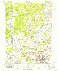
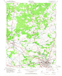
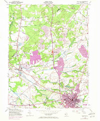
Editions of this 1953 Freehold Map
5 editions found
Other maps of this area

1888 · New Brunswick
USGS Topo · 1:62,500

1888 · Asbury Park
USGS Topo · 1:62,500

1888 · Cassville
USGS Topo · 1:62,500

1888 · Sandy Hook
USGS Topo · 1:62,500

1893 · New Brunswick
USGS Topo · 1:62,500

1893 · Sandy Hook
USGS Topo · 1:62,500

1893 · Asbury Park
USGS Topo · 1:62,500

1894 · Cassville
USGS Topo · 1:62,500

1900 · Cassville
USGS Topo · 1:62,500

1901 · New Brunswick
USGS Topo · 1:62,500
Featured Places
- Old Bridge Township, NJ
- Monroe Township, NJ
- Marlboro Township, NJ
- Manalapan Township, NJ
- Freehold Township, NJ