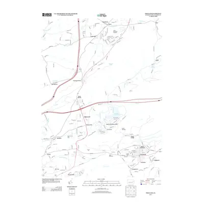
2013 Map of Freeland
USGS Topo · Published 2013About this map
Freeland and its surrounding borough neighborhoods form a dense residential and commercial core in this modern survey of Luzerne County. The landscape is a study in varied land use, where the suburban clusters of Beech Mountain Lakes and South Heberton sit adjacent to the protected wildlands of Nescopeck State Park. Higher elevations such as Buck Mountain and Little Nescopeck Mountain define the topography, while local history is marked by the presence of the Freeland Lookout Tower and established communities like Pardeesville and Upper Lehigh. The network of waterways including Nescopeck Creek and Little Nescopeck Creek flows through a mix of recreational and industrial corridors, reflecting the area's transition from its traditional coal-mining roots to a contemporary residential and outdoor-focused economy, anchored by landmarks such as the Edgewood Pines Golf Course.
Find a feature on this map
179 named features on this map. Tap any name to fly to it.
Don’t see what you’re looking for? This feature index may not catch every label — zoom into the map to look around manually.
Map Details
Editions of this 2013 Freeland Map
This is the sole edition of this map. No revisions or reprints were ever made.
Other maps of this area

1889 · Hazleton
USGS Topo · 1:62,500

1891 · Wilkesbarre
USGS Topo · 1:62,500

1891 · Hazleton
USGS Topo · 1:62,500

1892 · Mahanoy
USGS Topo · 1:62,500

1893 · Hazleton
USGS Topo · 1:62,500

1893 · Mahanoy
USGS Topo · 1:62,500

1894 · Shickshinny
USGS Topo · 1:62,500

1894 · Wilkesbarre
USGS Topo · 1:62,500

1943 · Scranton
USGS Topo · 1:125,000

1944 · Newark
USGS Topo · 1:250,000
Featured Places
- Freeland, PA
- Dorrance Township, PA
- Nescopeck Pass, Butler Township
- Sand Spring, Butler Township
- Highland, Foster Township