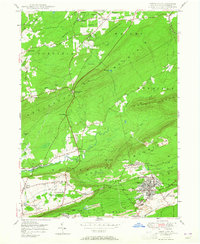
1950 Map of Freeland
USGS Topo · Published 1965About this map
Freeland and its surrounding coal-country settlements define this mid-century landscape in Luzerne County. The map details the transition from the rugged crests of Nescopeck Mountain and Buck Mountain to the industrial activity concentrated along the Central RR of New Jersey. While the northern reaches of Wapwallopen Creek remain relatively forested with small rural outposts like Blytheburn and Honey Hole, the southern half of the sheet is marked by the distinct footprints of the anthracite industry. Numerous Strip Mines and Mine Dumps surround Upper Lehigh and Drifton, illustrating the physical impact of resource extraction on the terrain. Local social structures are well-documented through the presence of family-named landmarks like Reilly and Albert, alongside community centers such as Good Shepherd Ch and East Butler Chapel. The map captures a moment when the regional economy was deeply tied to the rail-and-mine network of the Lehigh Valley.
Find a feature on this map
60 named features on this map. Tap any name to fly to it.
Don’t see what you’re looking for? This feature index may not catch every label — zoom into the map to look around manually.
Map Details
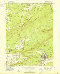
Editions of this 1950 Freeland Map
2 editions found
Other maps of this area

1889 · Hazleton
USGS Topo · 1:62,500

1891 · Wilkesbarre
USGS Topo · 1:62,500

1891 · Hazleton
USGS Topo · 1:62,500

1892 · Mahanoy
USGS Topo · 1:62,500

1893 · Hazleton
USGS Topo · 1:62,500

1893 · Mahanoy
USGS Topo · 1:62,500

1894 · Shickshinny
USGS Topo · 1:62,500

1894 · Wilkesbarre
USGS Topo · 1:62,500

1943 · Scranton
USGS Topo · 1:125,000

1944 · Newark
USGS Topo · 1:250,000