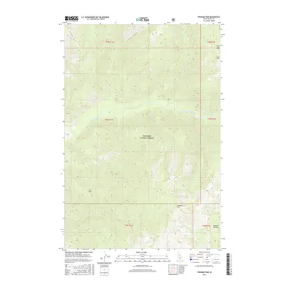
2017 Map of Freeman Peak
USGS Topo · Published 2017About this map
Nez Perce National Forest dominates this interior landscape of central Idaho, defined by high summits and the complex drainage system of the East Fork Moose Creek. The terrain is anchored by significant elevations such as Freeman Peak and Trout Peak, which overlook a network of watercourses including Freeman Cr, Monument Cr, and Wait Cr.
Find a feature on this map
30 named features on this map. Tap any name to fly to it.
Don’t see what you’re looking for? This feature index may not catch every label — zoom into the map to look around manually.
Map Details
Editions of this 2017 Freeman Peak Map
This is the sole edition of this map. No revisions or reprints were ever made.
Other maps of this area

1911 · Lolo
USGS Topo · 1:250,000

1913 · Lolo
USGS Topo · 1:250,000

1956 · Hamilton
USGS Topo · 1:250,000

1959 · Hamilton
USGS Topo · 1:250,000

1960 · Hamilton
USGS Topo · 1:250,000

1964 · Hamilton
USGS Topo · 1:250,000

1966 · Mc Connell Mtn
USGS Topo · 1:24,000

1966 · Twin Butte
USGS Topo · 1:24,000

1966 · Moose Ridge
USGS Topo · 1:24,000

1966 · Dog Creek
USGS Topo · 1:24,000