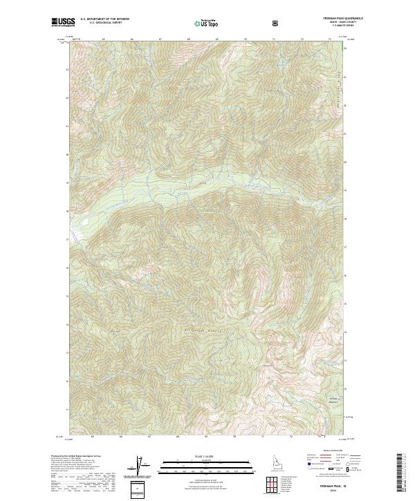
2024 Map of Freeman Peak
USGS Topo · Published 2024About this map
The Bitterroot Mountains define this high-elevation landscape within the Selway-Bitterroot Wilderness and Nez Perce National Forest. Centered on the prominence of Freeman Peak, the map reveals a complex network of drainage basins where headwaters like East Fork Moose Creek and Trout Creek begin their descent through deep canyons. The absence of roads or permanent structures reflects the protected status of this wilderness area, where the terrain is marked instead by natural features like Maple Lake Ridge and the high-altitude Horsefly Meadows. Small tributaries such as Wye Creek, Fitting Creek, and Double Creek feed into larger systems, illustrating the hydrological importance of this interior Idaho range. For those studying the geography of the Selway-Bitterroot, this survey documents the precise location of peaks and stream junctions in a largely untouched mountain environment.
Find a feature on this map
24 named features on this map. Tap any name to fly to it.
Don’t see what you’re looking for? This feature index may not catch every label — zoom into the map to look around manually.
Map Details
Editions of this 2024 Freeman Peak Map
This is the sole edition of this map. No revisions or reprints were ever made.
Other maps of this area

1911 · Lolo
USGS Topo · 1:250,000

1913 · Lolo
USGS Topo · 1:250,000

1956 · Hamilton
USGS Topo · 1:250,000

1959 · Hamilton
USGS Topo · 1:250,000

1960 · Hamilton
USGS Topo · 1:250,000

1964 · Hamilton
USGS Topo · 1:250,000

1966 · Mc Connell Mtn
USGS Topo · 1:24,000

1966 · Twin Butte
USGS Topo · 1:24,000

1966 · Moose Ridge
USGS Topo · 1:24,000

1966 · Dog Creek
USGS Topo · 1:24,000