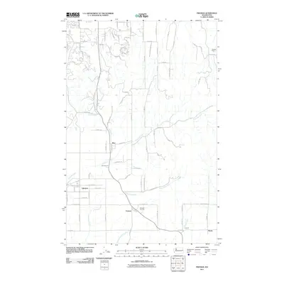
2011 Map of Freeman
USGS Topo · Published 2011About this map
Mica and Valleyford anchor this eastern Washington landscape, situated where the drainages of California Creek and Chester Creek define the local topography. The map illustrates a rural-to-suburban transition, with clustered residential developments like those along S Bella Ridge Ln and S Terra Verde Dr contrasting with the more open acreage near Freeman. Local history and genealogy researchers will find the locations of Evergreen Cemetery and Mica Cemetery particularly useful for mapping family lineages within the county. The southern portion of the quadrangle is marked by the course of Cottonwood Creek and the smaller Little Cottonwood Creek, while the presence of Deruwe Dam and the settlement at Manito indicate the varied agricultural and residential utility of the land during this period.
Find a feature on this map
74 named features on this map. Tap any name to fly to it.
Don’t see what you’re looking for? This feature index may not catch every label — zoom into the map to look around manually.
Map Details
Editions of this 2011 Freeman Map
This is the sole edition of this map. No revisions or reprints were ever made.
Other maps of this area

1901 · Spokane
USGS Topo · 1:125,000

1903 · Oakesdale
USGS Topo · 1:125,000

1905 · Oakesdale
USGS Topo · 1:125,000

1949 · Greenacres
USGS Topo · 1:62,500

1950 · Spokane NE
USGS Topo · 1:24,000

1950 · Spokane SE
USGS Topo · 1:24,000

1950 · Spokane
USGS Topo · 1:62,500

1951 · Greenacres
USGS Topo · 1:62,500

1954 · Spangle
USGS Topo · 1:62,500

1954 · Fairfield
USGS Topo · 1:62,500