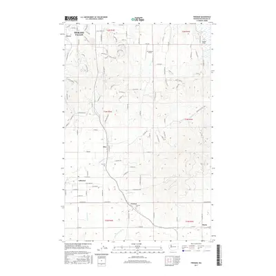
2017 Map of Freeman
USGS Topo · Published 2017About this map
Spokane Valley expands across the northern edge of this landscape, where residential developments meet the drainage of Chester Creek. The terrain transitions into a more rural corridor to the south, following the BNSF Railway through a series of small communities including Mica, Valleyford, and Freeman. This rail alignment was historically vital for moving agricultural goods through the Palouse-fringe hills toward the urban centers.
Find a feature on this map
106 named features on this map. Tap any name to fly to it.
Don’t see what you’re looking for? This feature index may not catch every label — zoom into the map to look around manually.
Map Details
Editions of this 2017 Freeman Map
This is the sole edition of this map. No revisions or reprints were ever made.
Other maps of this area

1901 · Spokane
USGS Topo · 1:125,000

1903 · Oakesdale
USGS Topo · 1:125,000

1905 · Oakesdale
USGS Topo · 1:125,000

1949 · Greenacres
USGS Topo · 1:62,500

1950 · Spokane NE
USGS Topo · 1:24,000

1950 · Spokane SE
USGS Topo · 1:24,000

1950 · Spokane
USGS Topo · 1:62,500

1951 · Greenacres
USGS Topo · 1:62,500

1954 · Spangle
USGS Topo · 1:62,500

1954 · Fairfield
USGS Topo · 1:62,500