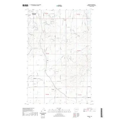
2020 Map of Freeman
USGS Topo · Published 2020About this map
Spokane Valley transitions from suburban development into the rural landscapes of southern Spokane County on this 2020 survey. Small settlements like Mica, Valleyford, and Freeman align along State Route 27, marking a corridor defined by agriculture and rolling terrain. The map reveals the local geography of the Palouse periphery, where drainage systems like California Cr and Cottonwood Cr carve through the landscape. Genealogists and local historians can pinpoint significant sites such as the Mica Cem and Evergreen Cem, which anchor these long-standing farming communities.
Find a feature on this map
101 named features on this map. Tap any name to fly to it.
Don’t see what you’re looking for? This feature index may not catch every label — zoom into the map to look around manually.
Map Details
Editions of this 2020 Freeman Map
This is the sole edition of this map. No revisions or reprints were ever made.
Other maps of this area

1901 · Spokane
USGS Topo · 1:125,000

1903 · Oakesdale
USGS Topo · 1:125,000

1905 · Oakesdale
USGS Topo · 1:125,000

1949 · Greenacres
USGS Topo · 1:62,500

1950 · Spokane NE
USGS Topo · 1:24,000

1950 · Spokane SE
USGS Topo · 1:24,000

1950 · Spokane
USGS Topo · 1:62,500

1951 · Greenacres
USGS Topo · 1:62,500

1954 · Spangle
USGS Topo · 1:62,500

1954 · Fairfield
USGS Topo · 1:62,500