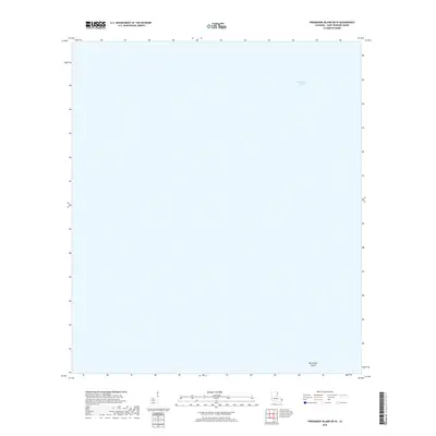
2018 Map of Freemason Island OE W
USGS Topo · Published 2018About this map
Chandeleur Sound dominates this coastal landscape in Saint Bernard Parish, Louisiana. This maritime environment is characterized by its isolation and the shifting geography of the gulf coast. A small landmass, Old Harbor Island, is the sole named terrestrial feature within the survey area, providing a critical reference point for researchers of Louisiana's barrier islands and coastal evolution. The map depicts a moment in time when this remote segment of the sound remained largely undisturbed by significant human development, focusing instead on the hydrography of these outlying waters.
Find a feature on this map
2 named features on this map. Tap any name to fly to it.
Don’t see what you’re looking for? This feature index may not catch every label — zoom into the map to look around manually.
Map Details
Editions of this 2018 Freemason Island OE W Map
This is the sole edition of this map. No revisions or reprints were ever made.
Other maps of this area

1893 · Chandeleur
USGS Topo · 1:62,500

1935 · Mitchell Keys
USGS Topo · 1:31,680
1951 · Freemason Island
USGS Topo · 1:24,000
1954 · Mitchell Keys
USGS Topo · 1:31,680
1955 · Mitchell Key
USGS Topo · 1:24,000

1957 · Breton Sound
USGS Topo · 1:250,000

1961 · Breton Sound
USGS Topo · 1:250,000

1982 · North Islands
USGS Topo · 1:100,000
1983 · Black Bay
USGS Topo · 1:100,000
1994 · Mitchell Island
USGS Topo · 1:24,000