
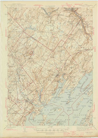
1944 Map of Freeport
USGS Topo · Published 1944About this map
The Androscoggin River winds through the northern reach of this 1941 survey, powering industry at Lisbon Falls and the paper mill site of Pejepscot. Further south, the landscape transitions into the intricate shoreline of Casco Bay, where the Harraseeket River and Middle Bay create a jagged network of points and coves. The presence of Bustins Island and the smaller Little Bustings suggests the coastal character of the era, while inland, the terrain is marked by prominent heights like Bradbury Mountain and Hedgehog Mtn.
Find a feature on this map
192 named features on this map. Tap any name to fly to it.
Don’t see what you’re looking for? This feature index may not catch every label — zoom into the map to look around manually.
Map Details
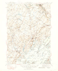
Editions of this 1944 Freeport Map
3 editions found
Other maps of this area

1891 · Portland
USGS Topo · 1:62,500

1892 · Gardiner
USGS Topo · 1:62,500

1892 · Freeport
USGS Topo · 1:62,500

1893 · Small Point
USGS Topo · 1:62,500

1893 · Portland
USGS Topo · 1:62,500

1893 · Casco Bay
USGS Topo · 1:62,500

1894 · Gray
USGS Topo · 1:62,500

1894 · Bath
USGS Topo · 1:62,500

1898 · Gray
USGS Topo · 1:62,500

1908 · Poland
USGS Topo · 1:62,500