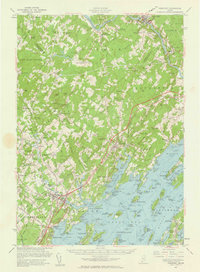
1957 Map of Freeport
USGS Topo · Published 1961About this map
Durham Southwest Bend sits along the Androscoggin River at the northern edge of this coastal survey, where the river winds past Plummer Mill and the crossing at Lisbon Falls. The landscape transitions from the upland heights of Bradbury Mtn and Hedgehog Mtn down to the intricate saltwater reaches of Casco Bay and Maquoit Bay. Coastal settlement is dense around the traditional maritime hubs of Porter Landing, Mast Landing, and Bunganuc Landing, while the interior remains defined by rural crossroads like North Pownal and Pownal Center. Significant infrastructure of the late 1950s is evident, including the path of the Maine Turnpike and the Central Maine RR, alongside local landmarks like the Stover Airport and the U S Naval Reservation on the peninsula. Numerous family and community burial grounds, such as Lunt Memorial Cem and Sylvester Cem, are documented across the townships, providing a detailed record of the region's mid-century rural and maritime character.
Find a feature on this map
133 named features on this map. Tap any name to fly to it.
Don’t see what you’re looking for? This feature index may not catch every label — zoom into the map to look around manually.
Map Details
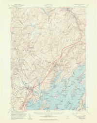
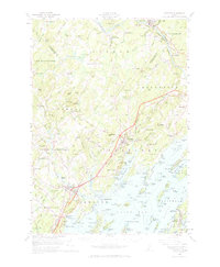
Editions of this 1957 Freeport Map
3 editions found
Other maps of this area

1891 · Portland
USGS Topo · 1:62,500

1892 · Gardiner
USGS Topo · 1:62,500

1892 · Freeport
USGS Topo · 1:62,500

1893 · Small Point
USGS Topo · 1:62,500

1893 · Portland
USGS Topo · 1:62,500

1893 · Casco Bay
USGS Topo · 1:62,500

1894 · Gray
USGS Topo · 1:62,500

1894 · Bath
USGS Topo · 1:62,500

1898 · Gray
USGS Topo · 1:62,500

1908 · Poland
USGS Topo · 1:62,500