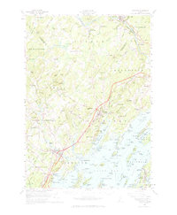
1957 Map of Freeport
USGS Topo · Published 1965About this map
The Androscoggin River and the jagged shoreline of Casco Bay define this mid-coast landscape during a period of infrastructure expansion. The Maine Turnpike and U.S. Highway 1 cut through the heart of the region, yet traditional riverfront and coastal nodes like Lisbon Falls, Porter Landing, and South Freeport remain central to the area's identity. Further inland, the map captures a rural network of named corners and hills, including Durham Southwest Bend and Bradbury Mtn State Park.
Find a feature on this map
107 named features on this map. Tap any name to fly to it.
Don’t see what you’re looking for? This feature index may not catch every label — zoom into the map to look around manually.
Map Details
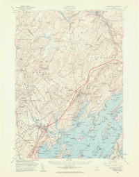
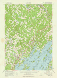
Editions of this 1957 Freeport Map
3 editions found
Other maps of this area

1891 · Portland
USGS Topo · 1:62,500

1892 · Gardiner
USGS Topo · 1:62,500

1892 · Freeport
USGS Topo · 1:62,500

1893 · Small Point
USGS Topo · 1:62,500

1893 · Portland
USGS Topo · 1:62,500

1893 · Casco Bay
USGS Topo · 1:62,500

1894 · Gray
USGS Topo · 1:62,500

1894 · Bath
USGS Topo · 1:62,500

1898 · Gray
USGS Topo · 1:62,500

1908 · Poland
USGS Topo · 1:62,500